A transect is a line across the landscape. Transects are often used in ecological studies, in order to see how things change as you go from one place to another. On our recent 2-week camping trip, we set out for the Mojave Desert but ended up doing a transect across California.
Carrizo Plain
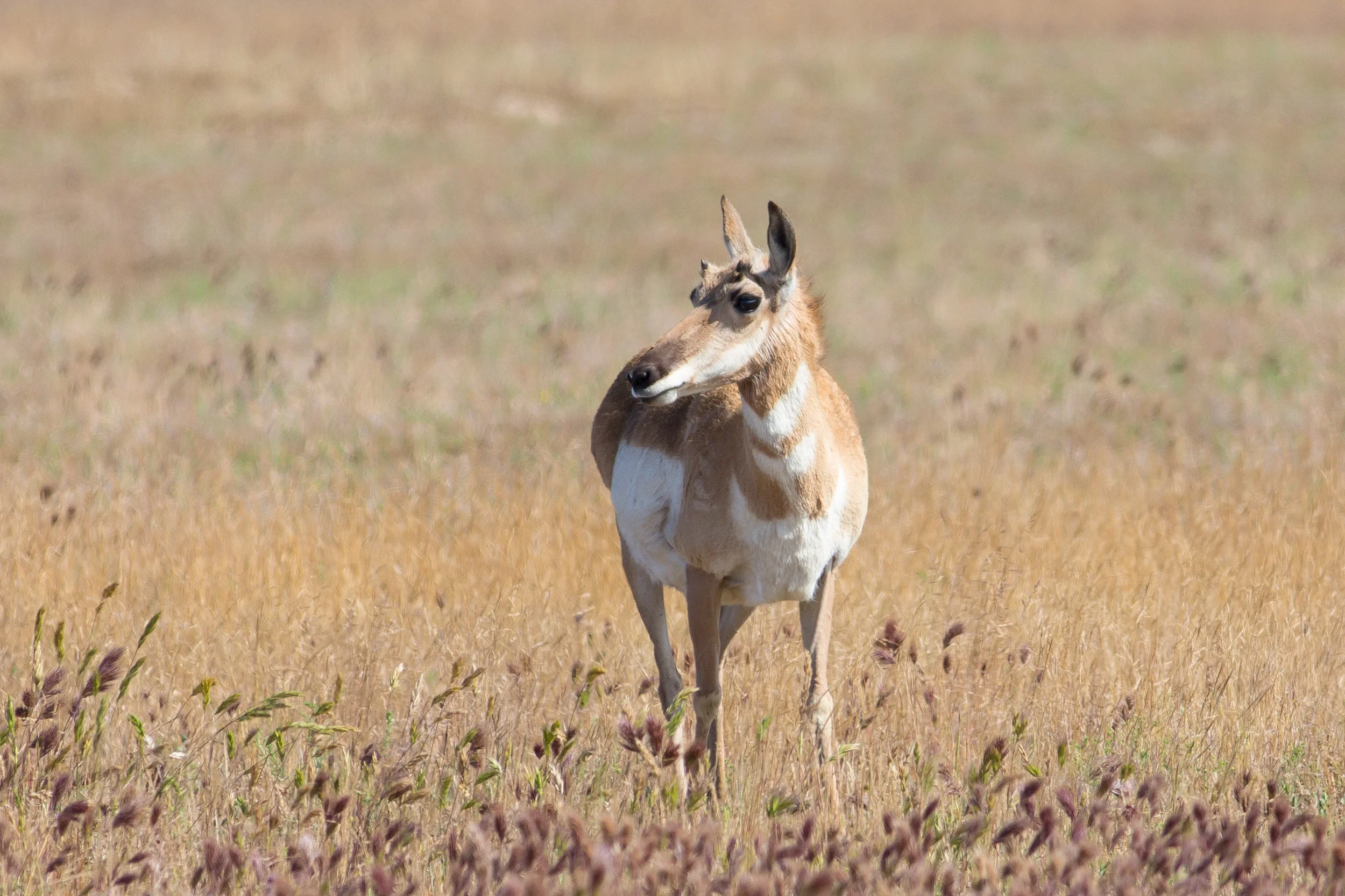
Our first stop was Carrizo Plain, an almost-forgotten valley on the inland edge of the Coast Ranges. It's roughly on the way to the Mojave, it has some secluded campsites, and it's known for spring wildflowers.


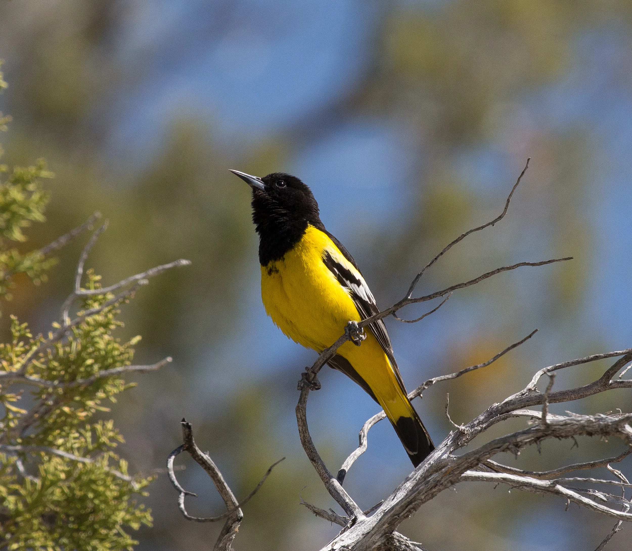
At the visitor center, they told us that we had missed all the wildflowers, and the back roads were too slick to drive. We headed into the hills of the Caliente Range anyway, and we found some nice views, a few flowers, and some birds and lizards.


We ended up stopping at Carrizo on the way out and again on the way back to Santa Cruz; these photos are from both visits.
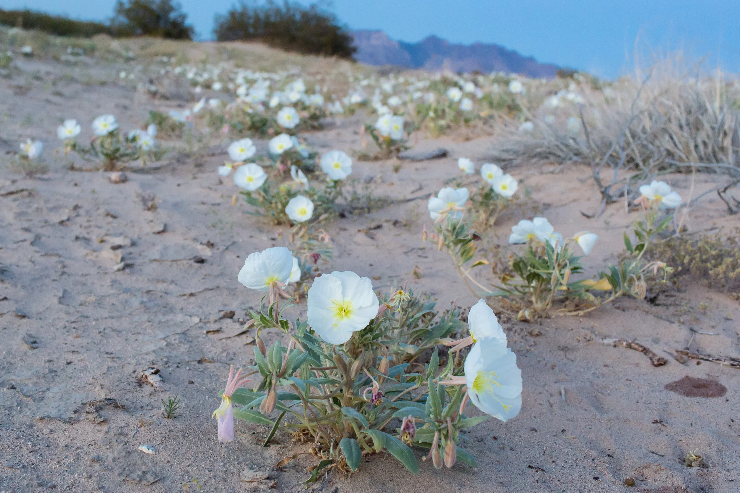
Mojave National Preserve
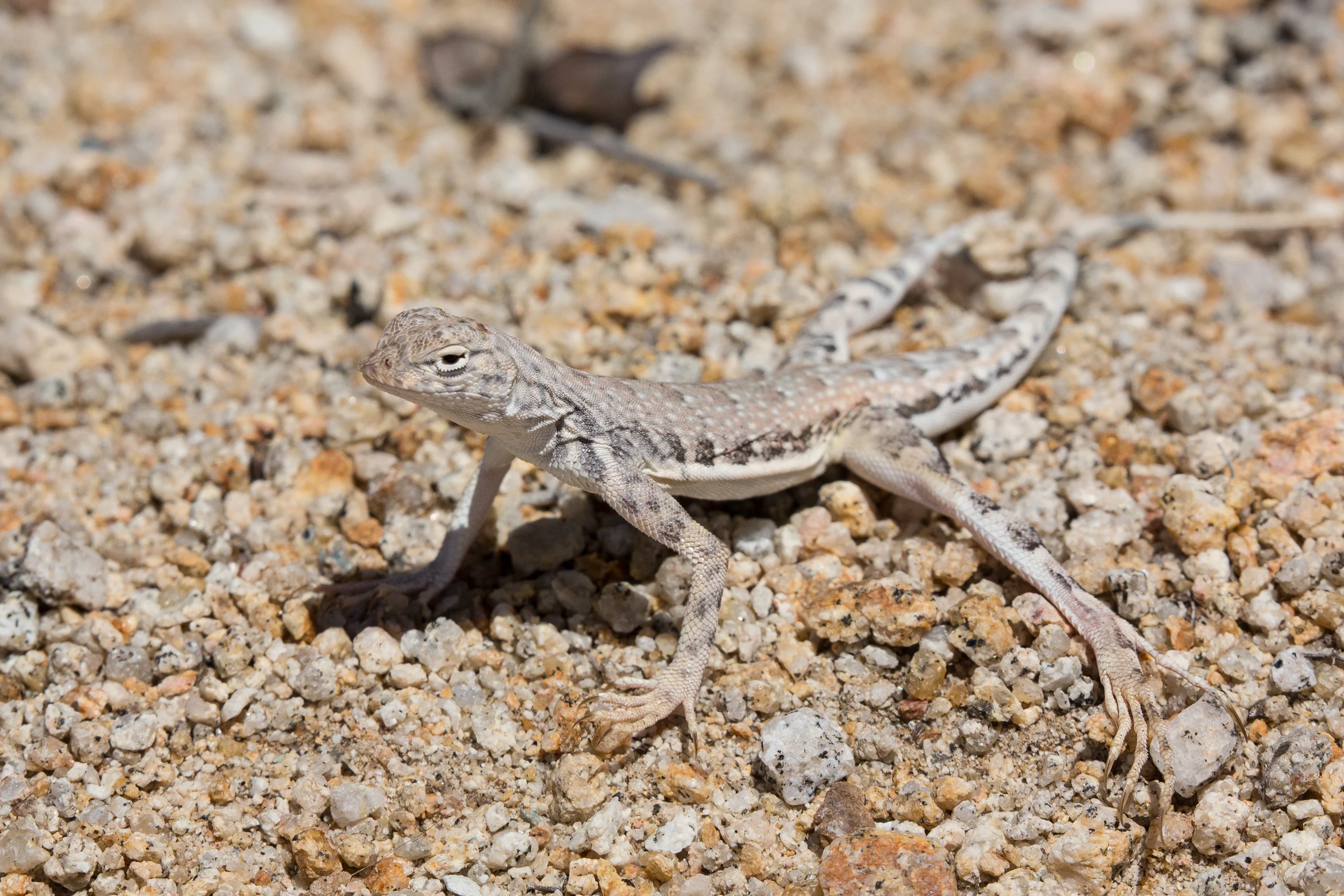
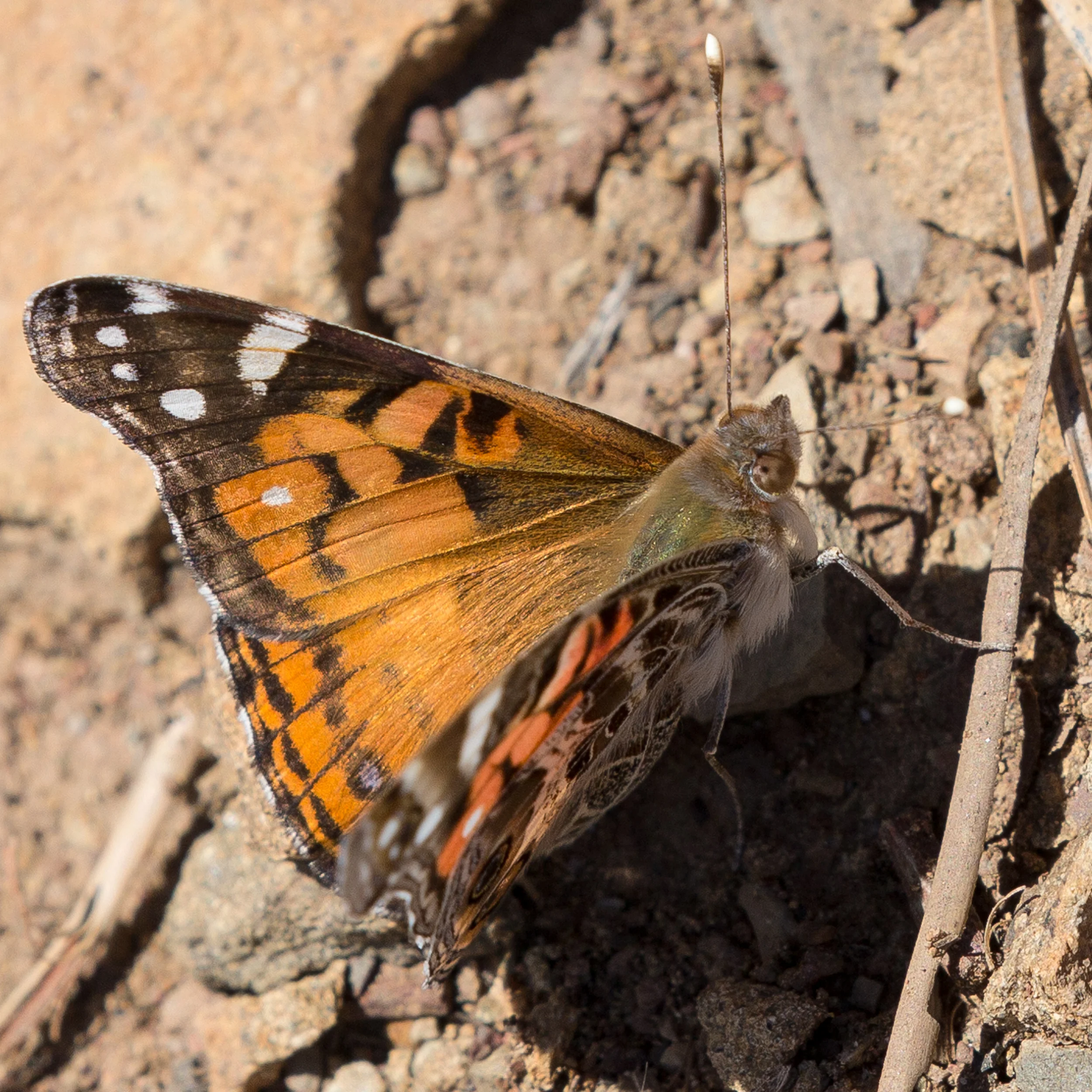
We wanted to see some lizards and desert flowers, so this was our main destination.


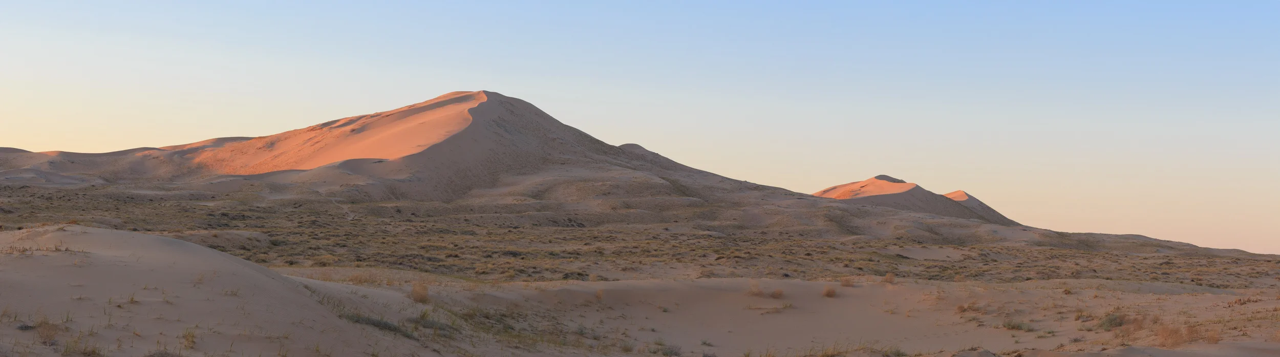
We spent a few days near the Granite Mountains, one of our favorite areas. Later, we visited Kelso Dunes, the Castle Peaks area, and the New York Mountains.
We planned to make birdwatching stops at Zzyzx and Afton Canyon, but the desert wore us down. We had good weather most of the time, but on our brief walk around Zzyzx, the temperature soared to 95 F, and the wind was soon blowing up to 40 mph. We decided it was time to look for a cooler climate.


Kern River
We drove through Barstow in a dust storm, buffeted by the wind. Our goal was to get into the southern part of the Sierra Nevada, where we could camp somewhere a little cooler than the Mojave. We soon found exactly that.


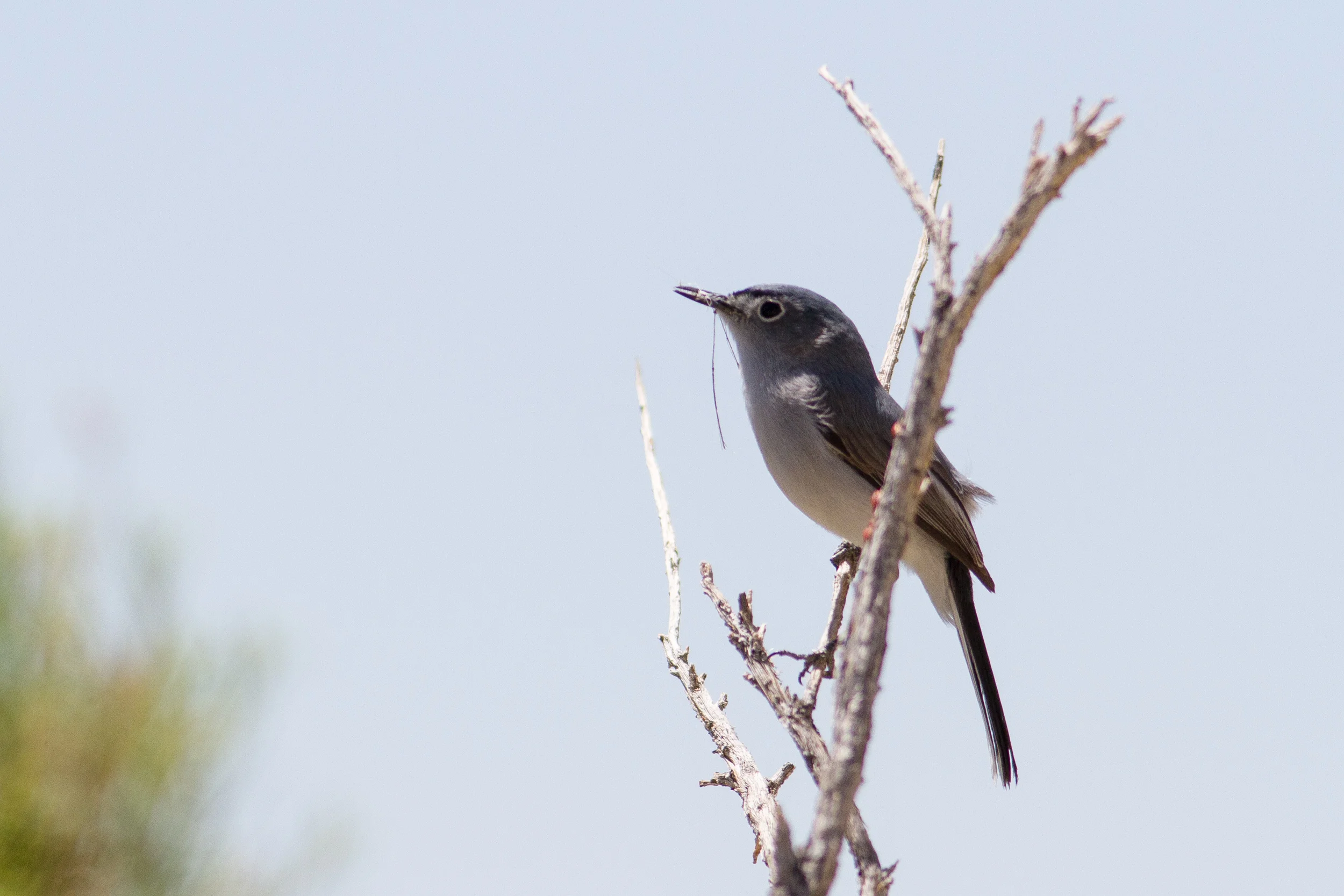
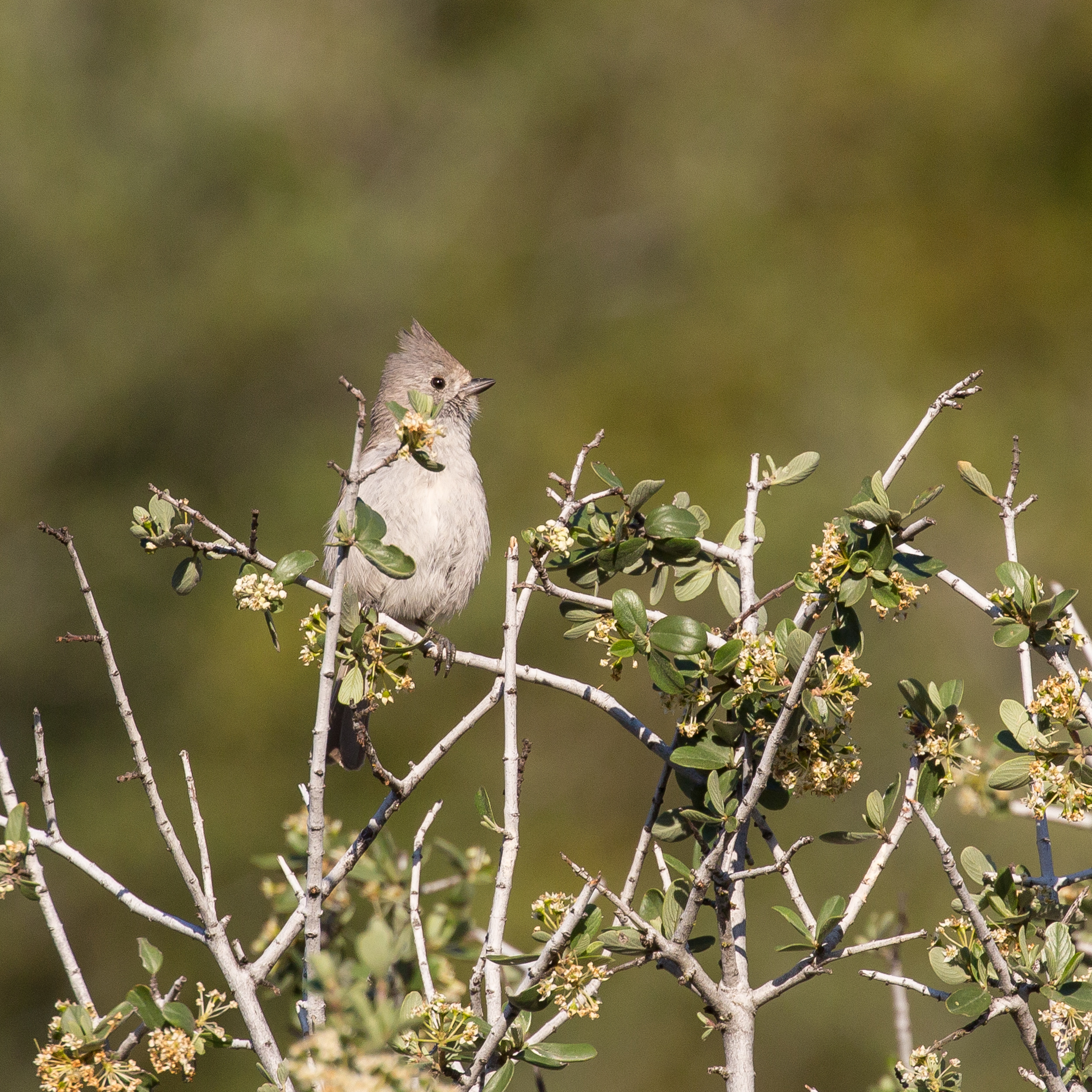
We took highway 178 toward the Kern River, and turned north on Canebrake Road, into the Chimney Peak area. We found some nice camping in the forest, with a great abundance of birds. We visited the Kern River Preserve, another outstanding spot for birds.


We wanted to go to a Forest Service road higher in the mountains, but it turned out to be closed due to snow, although there was no snow that we could see. That changed overnight. We camped near a small waterfall, Brian had his first (cold!) bath in some time, and we woke to a dusting of snow.
We ended up heading down toward Bakersfield via Rancheria Road, an old dirt road that passes through some nice foothill country. The driving was challenging, the truck drifting sideways at the slowest possible speeds in the mud and snow. Eventually we broke out of the storm and found a beautiful spot to camp. All too soon, we were on our way home, via Carrizo Plain (again) and then Big Sur.
Big Sur


We had a few days to spare, so we made a stop at Big Sur. We camped at our favorite spot in the hills, and spent some time enjoying the view. On our way home, we spent a little time walking around Point Lobos.


Overall, it was a good trip. We were out for about two weeks, sleeping in our rooftop tent the whole time, and never in a campground. We shot over 4,000 pictures, and struggled to winnow them down for this blog post. We saw over 100 species of birds, and camped in temperatures ranging from below freezing to much too hot. We were a little sad to come home.